The Aberdares is an isolated volcanic range that forms the eastern wall of the rift valley, running roughly 100 km north-south between Nairobi and Thomson’s Falls. Soils are red and of volcanic origin, but rich in organic matter.
There are two main peaks, Ol Donyo Lesatima (3,999 metres) and Kinangop (3,906 metres) separated by a long saddle of Alpine moorland at over 3,000 metres. The topography is diverse with deep ravines that cut through the forested eastern and western slopes and there are many clear streams and waterfalls.
The Aberdares are an important water catchment area providing water to the Tana and Athi rivers and part of Central Rift and Northern drainage basins.
The National Park lies mainly above the tree line running along the 10,000 ft (3,048 metres) contour with some forest and scrub at lower altitude in the ‘salient’ area near Nyeri with the boundary running down to the 7,000 ft (2,296 metres) contour.
The unusual vegetation, rugged terrain, streams and waterfalls combine to create an area of great scenic beauty in the National Park.
{tab What To Experience}
[spvideo]https://www.youtube.com/watch?v=RsFUfTeGZB4 [/spvideo]
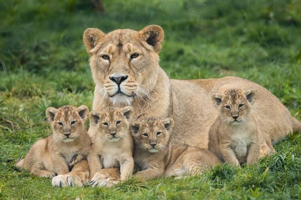
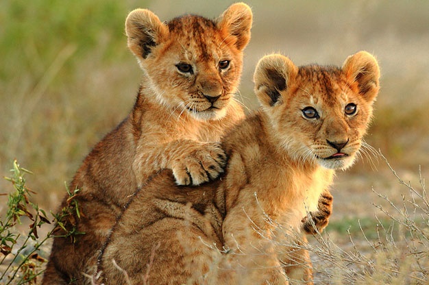
The park is home to most of the larger mammals, having a large population of black rhino. The park has endangered species including the rare bongo, giant forest hog, packs of the now very rare wild dogs and endemic mole-rate and mole shrew. Other game includes leopard, serval, endemic bird species, reptiles and insects.